Stavtinden hike

About the Stavtinden hike
The Stavtinden hike is an ideal mountain hike in Øksnes that welcomes hikers of all ages and skill levels. The trail starts at Stavdalsvatnet, located just north of the mountain’s summit. The path leads you southward in a gentle ascent towards the top, making it an excellent choice for those seeking a relaxing mountain experience.
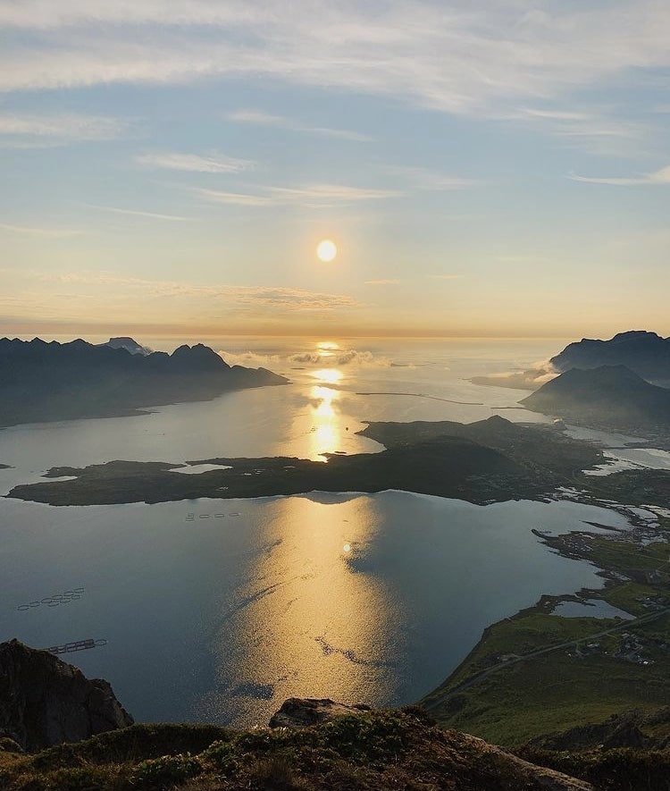
From the summit of Stavtinden, you can savor a magnificent panoramic view that includes majestic mountain ranges, beautiful fjords, and idyllic islands. This makes it a great place to take in the natural beauty of the area and capture some impressive photographs. Whether you are an experienced mountain hiker or a beginner, Stavtinden will delight you with its accessibility and stunning vistas.
When visiting Øksnes, consider including Stavtinden in your itinerary. This hike provides an opportunity to experience the fantastic landscape of the area and be inspired by the wonderful nature. So go on the hike, enjoy the journey, and create memories to carry with you from this splendid mountain top.
Important!
While the maps are based on real GPS tracks, please note that their primary purpose is to provide a starting point and approximate route for the trip, rather than precise positioning. The accuracy of maps and GPS may also vary slightly.
You are always responsible for making your own judgments when venturing into the mountains, taking the current conditions into account. It’s crucial to ensure you have appropriate footwear for the conditions and that you bring an adequate supply of food and water for your journey.
It is also important to check the local weather forecast in advance.